

At Peterborough we join the Middle Level Navigations.
Comprising of 70 miles of rivers, canals and dykes in the Cambridgeshire and Norfolk Fens, maintained by the Middle Level Commissioners primarily for drainage purposes.
They give us a cruising link from the Nene to the Great Ouse.
 |
| We enter the Mid Level Navigations via this manned lock |

 |
| This one is do it yourself.... |
 |
| .... where you need a different type of windlass! |

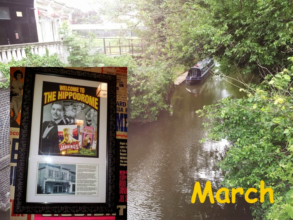 |
| We moor overnight at March and pop into the Hippodrome, which is now a Wetherspoons pub! |
 |
| We arrive at the manned Salters Lode Lock. Going through here will take us to a short tidal stretch of the Great Ouse to Denver Sluice Lock |
 |
| We wait at the lock landing until the tide has increased the water level |

 |
| Going out of the lock we have to negotiate this sand bank, which can be under water when the tide rises |
 |
| Peter takes us out |
 |
| We avoid getting stuck on the sandbank! |
 |
| We arrive at Denver Sluice Lock |

 |
| We go through this lock onto.... |
 |
| ....the Relief Channel Navigation, which runs from Denver Sluice to near Kings Lynn |
 |
| We planned to moor up overnight at Downham Market but the moorings were full... |
 |
| ....so we carried on to Stowbridge.... |
 |
| ....which had this pub right next to the mooring! |
 |
| The next morning we cruise back to the lock to rejoin the Great Ouse |


No comments:
Post a Comment